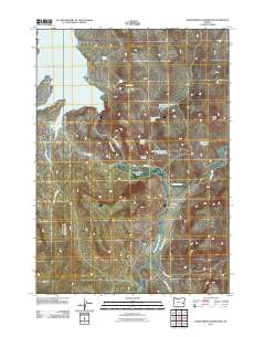
2011 Map of Warm Springs Reservoir
USGS Topo · Published 2011About this map
The Malheur River and its southern fork converge near the settlement of Riverside in this high-desert landscape of eastern Oregon. Water management defines the character of the region, from the extensive Warm Springs Reservoir in the northwest to smaller catchments like Riverside Reservoir Number One and Big Curve Reservoir. The Riverside Post Office stands as the central landmark for the local community, situated at the junction of the Juntura-Riverside Rd and Crowley-Riverside Rd.
Find a feature on this map
22 named features on this map. Tap any name to fly to it.
Don’t see what you’re looking for? This feature index may not catch every label — zoom into the map to look around manually.
Map Details
Editions of this 2011 Warm Springs Reservoir Map
This is the sole edition of this map. No revisions or reprints were ever made.
Other maps of this area
1955 · Burns
USGS Topo · 1:250,000
1958 · Burns
USGS Topo · 1:250,000
1959 · Burns
USGS Topo · 1:250,000
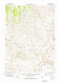
1968 · Venator
USGS Topo · 1:62,500
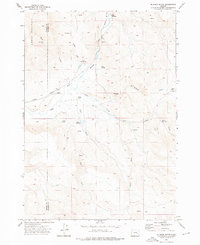
1972 · Mc Ewen Butte
USGS Topo · 1:24,000
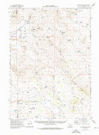
1972 · Stockade Mtn
USGS Topo · 1:62,500
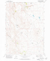
1972 · Hickey Basin
USGS Topo · 1:24,000
1972 · Dunnean
USGS Topo · 1:24,000
1973 · Upton Mountain
USGS Topo · 1:24,000
1973 · Mosquito Mtn
USGS Topo · 1:24,000