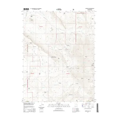
2014 Map of Warner Lake
USGS Topo · Published 2014About this map
Castle Valley occupies the northwestern corner of this study, where the high-desert floor gives way to the dramatic verticality of the La Sal Mountains. This terrain transition is marked by prominent geological features such as Porcupine Rim and the deep cut of Negro Bill Canyon. The map illustrates the complex drainage systems that flow from the mountains, including Placer Cr and Castle Cr, which have historically shaped the settlement patterns and agricultural viability of the valley.
Find a feature on this map
51 named features on this map. Tap any name to fly to it.
Don’t see what you’re looking for? This feature index may not catch every label — zoom into the map to look around manually.
Map Details
Editions of this 2014 Warner Lake Map
This is the sole edition of this map. No revisions or reprints were ever made.
Other maps of this area

1885 · La Sal
USGS Topo · 1:250,000

1954 · Mt. Waas 4 SW
USGS Topo · 1:24,000

1954 · Mt. Waas 4 NW
USGS Topo · 1:24,000

1954 · Mt Peale 1 NW
USGS Topo · 1:24,000

1954 · Mt Peale 2 NW
USGS Topo · 1:24,000

1954 · Mt. Waas 3 NE
USGS Topo · 1:24,000

1954 · Mt. Waas 3 SE
USGS Topo · 1:24,000

1954 · Mt Peale 2 NE
USGS Topo · 1:24,000

1954 · Mt. Waas 3 NW
USGS Topo · 1:24,000

1954 · Mt. Waas 3 SW
USGS Topo · 1:24,000