
1998 Map of Warner
USGS Topo · Published 2001About this map
The Warner River valley serves as the primary corridor for settlement and transit in this late 20th-century survey of Merrimack County. The village of Warner acts as the central hub, supported by smaller historical hamlets such as Waterloo, Lower Village, and East Sutton. The landscape is defined by its extensive state and town-managed lands, including the southern reaches of Mount Kearsarge State Forest and the Harriman-Chandler State Forest.
Find a feature on this map
61 named features on this map. Tap any name to fly to it.
Don’t see what you’re looking for? This feature index may not catch every label — zoom into the map to look around manually.
Map Details
Editions of this 1998 Warner Map
This is the sole edition of this map. No revisions or reprints were ever made.
Other maps of this area
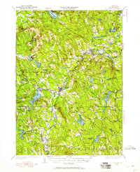
1926 · Hillsboro
USGS Topo · 1:62,500
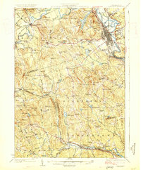
1927 · Concord
USGS Topo · 1:62,500
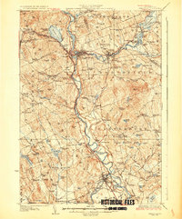
1927 · Penacook
USGS Topo · 1:62,500
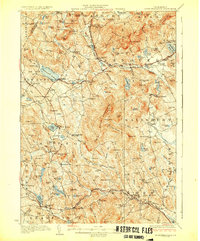
1928 · Mount Kearsarge
USGS Topo · 1:62,500
1929 · Hillsboro
USGS Topo · 1:62,500
1931 · Mount Kearsarge
USGS Topo · 1:62,500
1949 · Portland
USGS Topo · 1:250,000
1949 · Concord
USGS Topo · 1:62,500
1956 · Penacook
USGS Topo · 1:62,500
1956 · Mt. Kearsarge
USGS Topo · 1:62,500