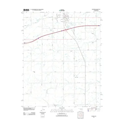
2012 Map of Warner
USGS Topo · Published 2012About this map
Warner serves as the focal point of this Muskogee County landscape, centered around the campus of Connors State Coll. The settlement pattern follows a distinct transition from the dense street grid of the town, featuring thoroughfares like College Ave and Zenith Ave, to an expansive network of rural roads that divide the surrounding prairie. The landscape is defined by its water systems and elevation changes, ranging from the low-lying Gap Prairie in the south to the prominent rise of Dunigan Mtn and Hickory Ridge.
Find a feature on this map
52 named features on this map. Tap any name to fly to it.
Don’t see what you’re looking for? This feature index may not catch every label — zoom into the map to look around manually.
Map Details
Editions of this 2012 Warner Map
This is the sole edition of this map. No revisions or reprints were ever made.
Other maps of this area

1900 · Sansbois
USGS Topo · 1:125,000

1901 · Muscogee
USGS Topo · 1:125,000

1905 · Muscogee
USGS Topo · 1:125,000

1909 · Sans Bois
USGS Topo · 1:125,000

1911 · Sansbois
USGS Topo · 1:125,000

1946 · Fort Smith
USGS Topo · 1:250,000

1948 · Keefeton
USGS Topo · 1:62,500

1948 · Webbers Falls
USGS Topo · 1:62,500

1950 · Keefeton
USGS Topo · 1:62,500

1950 · Webbers Falls
USGS Topo · 1:62,500