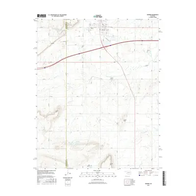
2016 Map of Warner
USGS Topo · Published 2016About this map
Warner stands at a central crossroads in Muskogee County, serving as the home of Connors State Coll. The landscape is defined by its varied topography, transitioning from the open Gap Prairie to the distinct elevations of Mt Nebo, Dunigan Mtn, and Hensley Mtn. Water systems are a prominent feature of the local geography, with Warner Lake situated to the northwest and the winding paths of Georges Fork and S Fork Dirty Cr moving through the countryside. This 2016 survey provides a record for genealogical research, documenting numerous family-named burial sites such as Bennett Cem, Foreman Cem, and Woodall Cem. The map reveals a mixture of agricultural land and wooded ridges, with clear markers for the McIntosh Co and Muskogee Co boundary line, which intersects several prominent natural features like Hickory Ridge.
Find a feature on this map
56 named features on this map. Tap any name to fly to it.
Don’t see what you’re looking for? This feature index may not catch every label — zoom into the map to look around manually.
Map Details
Editions of this 2016 Warner Map
This is the sole edition of this map. No revisions or reprints were ever made.
Other maps of this area

1900 · Sansbois
USGS Topo · 1:125,000

1901 · Muscogee
USGS Topo · 1:125,000

1905 · Muscogee
USGS Topo · 1:125,000

1909 · Sans Bois
USGS Topo · 1:125,000

1911 · Sansbois
USGS Topo · 1:125,000

1946 · Fort Smith
USGS Topo · 1:250,000

1948 · Keefeton
USGS Topo · 1:62,500

1948 · Webbers Falls
USGS Topo · 1:62,500

1950 · Keefeton
USGS Topo · 1:62,500

1950 · Webbers Falls
USGS Topo · 1:62,500