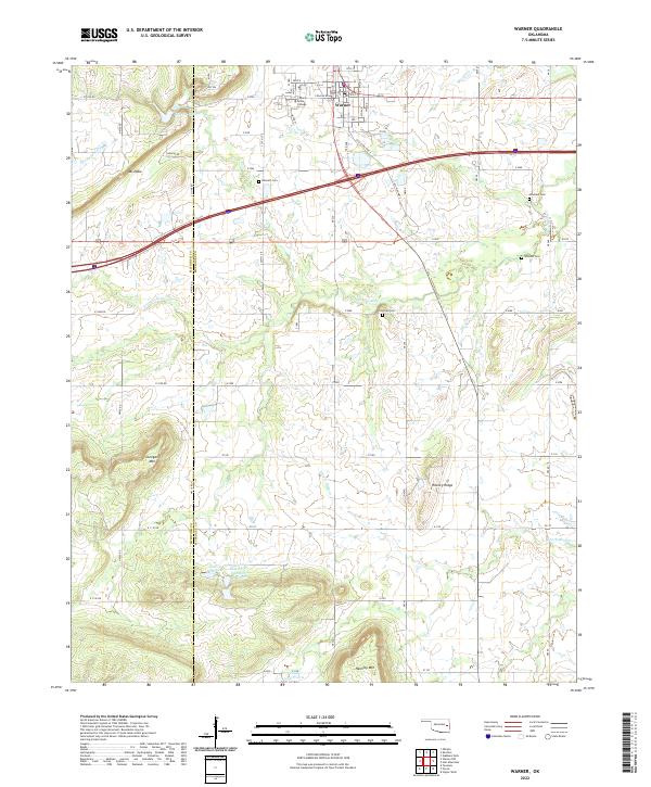
2022 Map of Warner
USGS Topo · Published 2022About this map
Warner serves as the primary hub of activity in this portion of Oklahoma, anchored by the campus of Connors State College. The town’s layout is defined by its grid of numbered streets and avenues, situated just north of the major east-west highway corridor. The surrounding landscape transitions from the developed town center to a varied terrain of high points and prairie, including Mt Nebo to the west and Hickory Ridge to the southeast.
Find a feature on this map
57 named features on this map. Tap any name to fly to it.
Don’t see what you’re looking for? This feature index may not catch every label — zoom into the map to look around manually.
Map Details
Editions of this 2022 Warner Map
This is the sole edition of this map. No revisions or reprints were ever made.
Other maps of this area

1900 · Sansbois
USGS Topo · 1:125,000

1901 · Muscogee
USGS Topo · 1:125,000

1905 · Muscogee
USGS Topo · 1:125,000

1909 · Sans Bois
USGS Topo · 1:125,000

1911 · Sansbois
USGS Topo · 1:125,000

1946 · Fort Smith
USGS Topo · 1:250,000

1948 · Keefeton
USGS Topo · 1:62,500

1948 · Webbers Falls
USGS Topo · 1:62,500

1950 · Keefeton
USGS Topo · 1:62,500

1950 · Webbers Falls
USGS Topo · 1:62,500