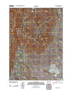
2011 Map of Warner Peak
USGS Topo · Published 2011About this map
Old Camp Warner and the surrounding high desert of Lake County are captured in this 2011 survey, revealing a landscape defined by seasonal water and volcanic terrain. The map traces the complex drainage of the Warner Mountains, where Rock Creek and Guano Creek flow through the interior. Notable cultural landmarks include Post Meadows and Barnhardy, which suggest the area's history of cattle ranching and early military outposts. The hydrology is particularly detailed, showing thermal activity at Hot Spring near the northern border and the expansive, often dry basins of Spanish Lake and Thunderbird Lake to the south. Elevations reach their peak at Warner Peak and High Point, while more localized relief is found at Adams Butte and the sheer drop of Martin Canyon. This sheet serves as a clear record of the access roads and natural springs, such as Indian Springs, that have supported human activity in this isolated part of the Oregon backcountry.
Find a feature on this map
23 named features on this map. Tap any name to fly to it.
Don’t see what you’re looking for? This feature index may not catch every label — zoom into the map to look around manually.
Map Details
Editions of this 2011 Warner Peak Map
This is the sole edition of this map. No revisions or reprints were ever made.
Other maps of this area

1955 · Adel
USGS Topo · 1:250,000

1957 · Adel
USGS Topo · 1:250,000

1958 · Adel
USGS Topo · 1:250,000

1962 · Adel
USGS Topo · 1:250,000

1967 · Flagstaff Lake
USGS Topo · 1:24,000

1967 · Jacobs Reservoir
USGS Topo · 1:24,000

1967 · Campbell Lake
USGS Topo · 1:24,000

1967 · Flook Lake
USGS Topo · 1:24,000

1967 · Alger Lake
USGS Topo · 1:24,000

1967 · Hart Lake
USGS Topo · 1:24,000