
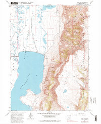
1967 Map of Hart Lake
USGS Topo · Published 1969About this map
Hart Lake dominates this high-desert basin within the Warner Valley, sitting at a normal pool elevation of 4473 feet as recorded during this mid-1960s survey. The landscape is defined by the sharp transition between the expansive waters of the Warner Lakes system and the steep, rising slopes of the Hart Mountain National Antelope Refuge. To the east, the terrain is carved by numerous drainages such as Arsenic Canyon, De Garmo Canyon, and Potter Canyon, which feed into the valley floor. The map captures essential water management and land use features of the era, including a Spillway at the northern end of Hart Lake near a Gravel Pit and Sandpit. Farther north, the intermittent nature of the region's hydrology is visible in Anderson Lake and the nearby Alkali Flat, reflecting the cyclical environment of Lake County's Great Basin country.
Find a feature on this map
29 named features on this map. Tap any name to fly to it.
Don’t see what you’re looking for? This feature index may not catch every label — zoom into the map to look around manually.
Map Details
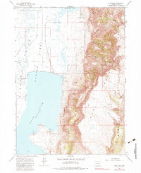
Editions of this 1967 Hart Lake Map
3 editions found
Other maps of this area

1955 · Adel
USGS Topo · 1:250,000

1957 · Adel
USGS Topo · 1:250,000

1958 · Adel
USGS Topo · 1:250,000

1962 · Adel
USGS Topo · 1:250,000

1967 · Flagstaff Lake
USGS Topo · 1:24,000

1967 · Jacobs Reservoir
USGS Topo · 1:24,000

1967 · Plush
USGS Topo · 1:24,000

1967 · Rabbit Hills SW
USGS Topo · 1:24,000

1967 · Priday Reservoir
USGS Topo · 1:24,000

1967 · Campbell Lake
USGS Topo · 1:24,000