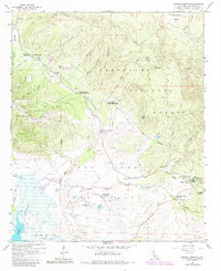
1959 Map of Warner Springs
USGS Topo · Published 1984About this map
Warner Springs and the historic San Jose del Valle grant area center this 1959 survey, updated with revisions from 1980. The landscape is defined by the convergence of mountain and valley, where the San Luis Rey River and Agua Caliente Creek flow toward the expanse of Lake Henshaw. Grounded in the cattle ranching and resort history of the region, the map shows the renowned Warner Hot Spring and the nearby Warner Union School.
Find a feature on this map
43 named features on this map. Tap any name to fly to it.
Don’t see what you’re looking for? This feature index may not catch every label — zoom into the map to look around manually.
Map Details
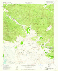
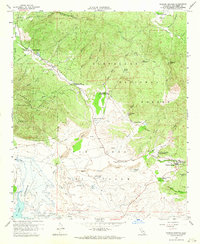
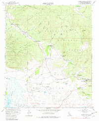
Editions of this 1959 Warner Springs Map
4 editions found
Other maps of this area

1903 · Ramona
USGS Topo · 1:125,000

1904 · Southern California Sheet No. 2
USGS Topo · 1:250,000

1939 · Warner Springs
USGS Topo · 1:62,500

1939 · Santa Ysabel
USGS Topo · 1:62,500

1939 · Palomar Mountain
USGS Topo · 1:62,500

1942 · Ramona
USGS Topo · 1:62,500

1943 · Santa Ysabel
USGS Topo · 1:62,500

1943 · Warner Springs
USGS Topo · 1:62,500

1947 · Ramona
USGS Topo · 1:62,500

1947 · Santa Ana
USGS Topo · 1:250,000