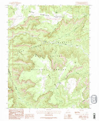
1985 Map of Warren Canyon
USGS Topo · Published 1995About this map
Dark Canyon Wilderness and the surrounding Manti-La Sal National Forest dominate this San Juan County landscape, defined by a complex network of high plateaus and deep drainage systems. The topography transitions from the elevated Dark Canyon Plateau in the north toward the distinct prominence of Dry Mesa to the south. This 1985 survey illustrates the primitive infrastructure of the region, where travel is limited to a singular Trail and primitive routes following the natural contours of the land. Vital water sources like Sweet Alice Spring and Cooper Spring provide the only named relief in this arid environment. The map details the geologically varied terrain of the Sweet Alice Hills and the deep cuts of Woodenshoe Canyon and Youngs Canyon, showing the area just as it was being formally managed under wilderness protection.
Find a feature on this map
20 named features on this map. Tap any name to fly to it.
Don’t see what you’re looking for? This feature index may not catch every label — zoom into the map to look around manually.
Map Details
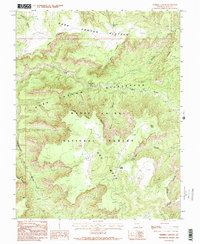
Editions of this 1985 Warren Canyon Map
2 editions found
Other maps of this area

1886 · Henry Mountains
USGS Topo · 1:250,000

1886 · Abajo
USGS Topo · 1:250,000

1892 · Abajo
USGS Topo · 1:250,000

1892 · Henry Mountains
USGS Topo · 1:250,000

1893 · Abajo
USGS Topo · 1:250,000

1935 · Elk Ridge
USGS Topo · 1:96,000

1940 · Elk Ridge
USGS Topo · 1:125,000

1952 · Mouth of Dark Canyon
USGS Topo · 1:62,500

1952 · Natural Bridges
USGS Topo · 1:62,500
1954 · White Canyon 1 NE
USGS Topo · 1:24,000