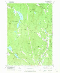
1973 Map of Warren
USGS Topo · Published 1975About this map
White Mountain National Forest dominates this topographic survey, revealing a landscape defined by the drainage of the Baker River and a collection of high-altitude water bodies including Lake Tarleton, Lake Armington, and Wachipauka Pond. The settlement of Warren serves as a local hub along the river, supported by landmarks such as St Johns Chapel and the State Fish Hatchery. Transport and recreation are central to the area's layout, shown through the winding path of the Appalachian Trail as it crosses Oliverian Notch and passes the community of Glencliff. Former industrial footprints are visible in the Old RR Grade and the Old National Forest Railroad Boundary Grade, which trace the history of timber and transit through the Grafton County highlands. Notable local camps like Whitmans Camp and Moosilauke Camp dot the lakeshores, reflecting the region's long-standing role as a mountain retreat.
Find a feature on this map
60 named features on this map. Tap any name to fly to it.
Don’t see what you’re looking for? This feature index may not catch every label — zoom into the map to look around manually.
Map Details
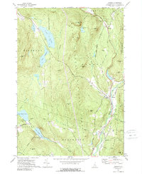
Editions of this 1973 Warren Map
2 editions found
Other maps of this area

1928 · Rumney
USGS Topo · 1:62,500

1929 · Moosilauke
USGS Topo · 1:62,500

1931 · Mt. Cube
USGS Topo · 1:62,500

1931 · Woodsville
USGS Topo · 1:48,000

1932 · Rumney
USGS Topo · 1:62,500

1932 · Moosilauke
USGS Topo · 1:62,500

1933 · Mt. Cube
USGS Topo · 1:62,500

1935 · Woodsville
USGS Topo · 1:62,500

1941 · Woodsville
USGS Topo · 1:62,500

1949 · Portland
USGS Topo · 1:250,000