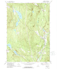
1973 Map of Warren
USGS Topo · Published 1989About this map
The Baker River valley anchors this 1973 look at the eastern edge of the White Mountain National Forest, where small settlements like Warren and Glencliff follow the river and the Old RR Grade. The landscape is a transition from the lower river valley to the heights of Sentinel Mtn and Webster Slide Mtn. Local institutions such as St Johns Chapel, the Wentworth Sch, and the State Fish Hatchery provide clear reference points for those researching family history in the Grafton County area.
Find a feature on this map
56 named features on this map. Tap any name to fly to it.
Don’t see what you’re looking for? This feature index may not catch every label — zoom into the map to look around manually.
Map Details
Editions of this 1973 Warren Map
2 editions found
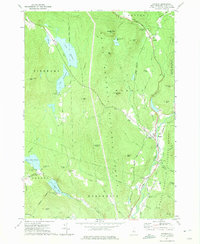
Other maps of this area

1928 · Rumney
USGS Topo · 1:62,500

1929 · Moosilauke
USGS Topo · 1:62,500

1931 · Mt. Cube
USGS Topo · 1:62,500

1931 · Woodsville
USGS Topo · 1:48,000

1932 · Rumney
USGS Topo · 1:62,500

1932 · Moosilauke
USGS Topo · 1:62,500

1933 · Mt. Cube
USGS Topo · 1:62,500

1935 · Woodsville
USGS Topo · 1:62,500

1941 · Woodsville
USGS Topo · 1:62,500

1949 · Portland
USGS Topo · 1:250,000