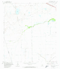
1971 Map of Warren Lake
USGS Topo · Published 1974About this map
Warren Lake and the adjacent Warren Ranch define the northwest corner of this Harris County landscape as it appeared in the early 1970s. The terrain is characterized by the meandering path of Cypress Creek, which flows eastward toward a Fish Hatchery and Mallard Lake. This map captures a rural Texas transition, where vast agricultural holdings are segmented by early infrastructure like the Southern Pacific rail line and numerous petroleum pipelines.
Find a feature on this map
26 named features on this map. Tap any name to fly to it.
Don’t see what you’re looking for? This feature index may not catch every label — zoom into the map to look around manually.
Map Details
Editions of this 1971 Warren Lake Map
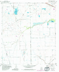
2 editions found
Other maps of this area

1915 · Cypress
USGS Topo · 1:24,000

1915 · Katy
USGS Topo · 1:24,000

1915 · Addicks
USGS Topo · 1:24,000

1916 · Rose Hill
USGS Topo · 1:24,000

1916 · Hockley
USGS Topo · 1:24,000

1916 · Swanson
USGS Topo · 1:24,000

1918 · Cypress
USGS Topo · 1:31,680

1918 · Addicks
USGS Topo · 1:31,680

1919 · Swanson
USGS Topo · 1:31,680

1920 · Hockley
USGS Topo · 1:31,680