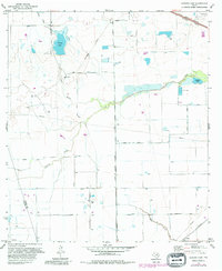
1971 Map of Warren Lake
USGS Topo · Published 1980About this map
Warren Ranch sits near the headwaters of Rock Hollow, anchoring a landscape in transition during the early 1970s. This portion of the Texas coastal prairie is defined by the drainage systems of Cypress Creek and Bear Creek, which reveal a mix of traditional ranching and emerging industrial infrastructure. Evidence of the region’s resource extraction is visible through numerous Oil Wells and a network of Pipelines crossing the terrain. The presence of a Fish Hatchery near Mallard Lake and a Landing Strip along the Houston Corporate Boundaries suggests the encroaching urban influence from the southeast. Transportation is dominated by the Southern Pacific railroad and a grid of rural routes like Katy Hockley Road and House and Hahl Road, marking the geometric division of the land before major suburban development.
Find a feature on this map
30 named features on this map. Tap any name to fly to it.
Don’t see what you’re looking for? This feature index may not catch every label — zoom into the map to look around manually.
Map Details
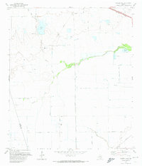
Editions of this 1971 Warren Lake Map
2 editions found
Other maps of this area

1915 · Cypress
USGS Topo · 1:24,000

1915 · Katy
USGS Topo · 1:24,000

1915 · Addicks
USGS Topo · 1:24,000

1916 · Rose Hill
USGS Topo · 1:24,000

1916 · Hockley
USGS Topo · 1:24,000

1916 · Swanson
USGS Topo · 1:24,000

1918 · Cypress
USGS Topo · 1:31,680

1918 · Addicks
USGS Topo · 1:31,680

1919 · Swanson
USGS Topo · 1:31,680

1920 · Hockley
USGS Topo · 1:31,680