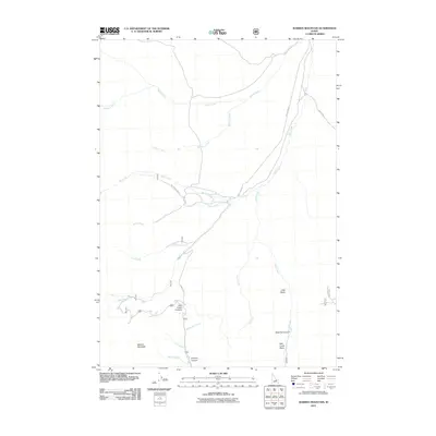
2011 Map of Warren Mountain
USGS Topo · Published 2011About this map
Warren Mountain dominates the southwestern corner of this landscape, anchoring a high-altitude terrain defined by a complex drainage network within Custer County. The 2011 survey documents a primary transportation artery via Pass Creek Rd, which climbs through the center of the sheet toward the Pass Creek Summit. This route serves as the spine for various forest access roads, including Nat For Dev Rd 121 and Nat For Dev Rd 539, which penetrate the drainages of Big Creek and Hills Creek.
Find a feature on this map
24 named features on this map. Tap any name to fly to it.
Don’t see what you’re looking for? This feature index may not catch every label — zoom into the map to look around manually.
Map Details
Editions of this 2011 Warren Mountain Map
This is the sole edition of this map. No revisions or reprints were ever made.
Other maps of this area

1935 · MacKay
USGS Topo · 1:96,000

1935 · Borah Peak
USGS Topo · 1:125,000

1938 · Borah Peak
USGS Topo · 1:125,000

1940 · Mackay
USGS Topo · 1:62,500

1955 · Dubois
USGS Topo · 1:250,000

1955 · Idaho Falls
USGS Topo · 1:250,000

1957 · Hawley Mountain
USGS Topo · 1:62,500

1958 · Dubois
USGS Topo · 1:250,000

1958 · Idaho Falls
USGS Topo · 1:250,000

1960 · Mackay
USGS Topo · 1:62,500