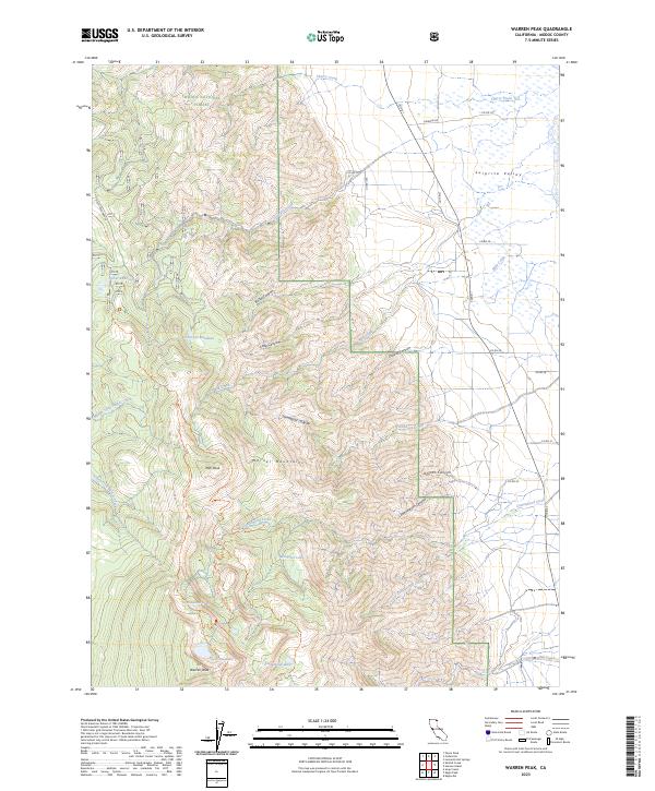
2023 Map of Warren Peak
USGS Topo · Published 2023About this map
Warren Peak stands as the high point of the dramatic eastern escarpment of the Warner Mountains within the South Warner Wilderness. This high-altitude landscape is defined by its series of glacial cirques and alpine basins, which hold several isolated water bodies including Patterson Lake, Cottonwood Lake, and Lindemann Lake. The terrain transitions sharply from the vertical relief of the peaks down into the western edge of Surprise Valley, where a network of county roads like Co RD 1 and Laxaque RD skirt the edge of the wetlands and drainage basins.
Find a feature on this map
47 named features on this map. Tap any name to fly to it.
Don’t see what you’re looking for? This feature index may not catch every label — zoom into the map to look around manually.
Map Details
Editions of this 2023 Warren Peak Map
This is the sole edition of this map. No revisions or reprints were ever made.
Other maps of this area

1886 · Alturas
USGS Topo · 1:250,000

1892 · Alturas
USGS Topo · 1:250,000

1954 · Alturas
USGS Topo · 1:250,000

1958 · Alturas
USGS Topo · 1:250,000

1962 · Alturas
USGS Topo · 1:250,000

1962 · Davis Creek
USGS Topo · 1:62,500

1962 · Cedarville
USGS Topo · 1:62,500

1963 · Warren Peak
USGS Topo · 1:24,000
1963 · Hansen Island
USGS Topo · 1:24,000
1963 · Eagleville
USGS Topo · 1:24,000