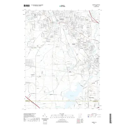
2019 Map of Warren
USGS Topo · Published 2019About this map
The Mahoning River winds through the heart of the region, anchoring a landscape defined by the industrial and residential growth of Warren and Niles. This 2019 survey illustrates the dense network of neighborhoods and civic centers, including the Trumbull County Courthouse and the Trumbull Business College. Significant geographic features like the Meander Creek Reservoir and the Meander Dam dominate the southern portion of the map, while numerous cemeteries, such as Saint Marys Cem and the House of Israel Cem, offer critical data points for genealogists researching family history in the Trumbull and Mahoning county borderlands.
Find a feature on this map
58 named features on this map. Tap any name to fly to it.
Don’t see what you’re looking for? This feature index may not catch every label — zoom into the map to look around manually.
Map Details
Editions of this 2019 Warren Map
This is the sole edition of this map. No revisions or reprints were ever made.
Other maps of this area

1905 · Bristolville
USGS Topo · 1:62,500

1906 · Youngstown
USGS Topo · 1:62,500

1907 · Kinsman
USGS Topo · 1:62,500

1907 · Bristolville
USGS Topo · 1:62,500

1908 · Youngstown
USGS Topo · 1:62,500

1908 · Warren
USGS Topo · 1:62,500

1950 · Cleveland
USGS Topo · 1:250,000

1951 · Youngstown
USGS Topo · 1:24,000

1952 · Lake Milton
USGS Topo · 1:24,000

1952 · Canfield
USGS Topo · 1:24,000
Featured Places
- Warren, OH
- Weathersfield Township, OH
- Howland Township, OH
- Niles, Weathersfield Township
- Warren Township, OH