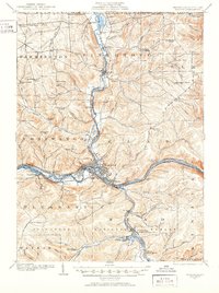
1906 Map of Warren
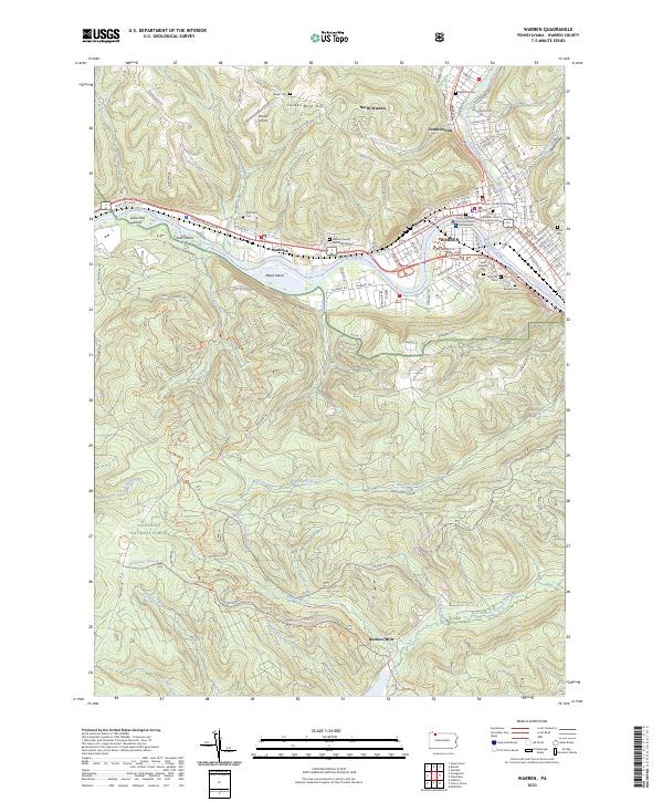
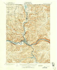
USGS Topo · Published 1952About this map
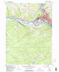
Warren sits at the confluence of Conewango Creek and the Allegheny River, serving as a busy industrial and transit hub at the start of the twentieth century. The landscape is defined by its complex network of transportation, including the Pennsylvania RR and the Warren and Jamestown Electric RR which follow the river valleys. A significant portion of the area is occupied by the State Insane Asylum and its associated Farm Colony, indicating the large-scale social institutions of the era. To the south, the Allegheny National Forest begins to dominate the terrain, while numerous small settlements like Russell and Ackley anchor the rural townships. The presence of numerous named schools, such as Dutch Hill School and Scranton Hollow School, provides a dense map for genealogists tracing family locations across Farmington and Glade townships.
Find a feature on this map
98 named features on this map. Tap any name to fly to it.
Don’t see what you’re looking for? This feature index may not catch every label — zoom into the map to look around manually.
Map Details
Editions of this 1906 Warren Map
3 editions found

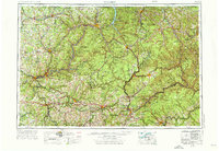
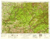
Historical Maps of Warren Through Time
10 maps found