Loading...
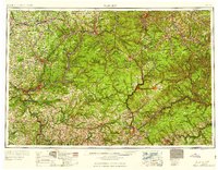
Loading map...1906 Map of Warren
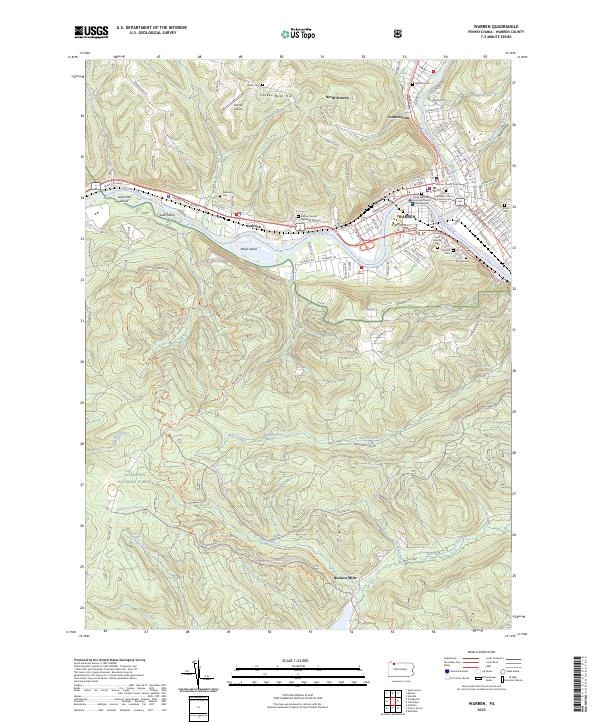
USGS Topo · Published 1958About this map
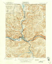
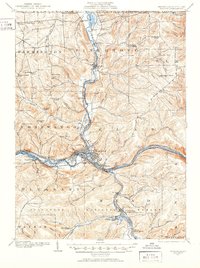
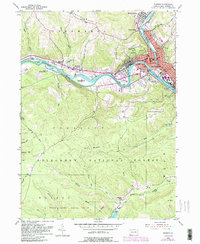
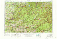
Warren serves as the industrial and transportation hub of this river-centered landscape, situated at the strategic confluence where Conewango Creek meets the Allegheny River. The 1906 survey reveals a complex network of early 20th-century infrastructure, including the Dunkirk Allegheny Valley and Pittsburg RR and the Warren and Jamestown Electric Ry, which linked these Pennsylvania river towns to the northern markets.
Find a feature on this map
100 named features on this map. Tap any name to fly to it.
Don’t see what you’re looking for? This feature index may not catch every label — zoom into the map to look around manually.
Map Details
Date Portrayed1906
Date Published1958
PublisherU.S. Geological Survey
Map TypeTopographic
Scale1:62,500
Physical Dimensions17 x 20.9 inches
Editions of this 1906 Warren Map
3 editions found

Historical Maps of Warren Through Time
10 maps found


Featured Locations
Source Details
SourceU.S. Geological Survey
CopyrightPublic Domain