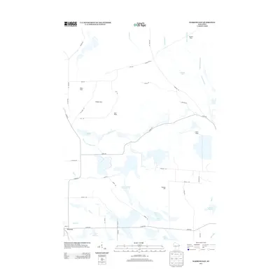
2013 Map of Warrens East
USGS Topo · Published 2013About this map
Cranberry country and wetlands define this portion of Monroe County, where the settlement of Warrens sits at the southwestern edge of a complex hydraulic landscape. The map reveals an intricate network of water management features, including the East Fork Lemonweir River, Goodyear Ditch, and Hunters Peak Ditch, alongside numerous specialized reservoirs such as Lake 1 8 Upper Reservoir 17.41. These features, alongside Sawdust Marsh, suggest the area's long-standing connection to commercial fruit cultivation and marshland industries. Rising above the low-lying bogs are several named topographic points like Miles Peak, Ball Bluff, and the Winkler Hills. The road system, comprised of routes like Co HWY-HH and Co HWY-Ew, provides a framework for the rural homesteads and agricultural operations that characterize this region north of the Tomah area.
Find a feature on this map
48 named features on this map. Tap any name to fly to it.
Don’t see what you’re looking for? This feature index may not catch every label — zoom into the map to look around manually.
Map Details
Editions of this 2013 Warrens East Map
This is the sole edition of this map. No revisions or reprints were ever made.
Other maps of this area

1947 · Millston
USGS Topo · 1:62,500

1949 · Millston
USGS Topo · 1:62,500

1953 · Eau Claire
USGS Topo · 1:250,000

1957 · City Point
USGS Topo · 1:48,000

1958 · Eau Claire
USGS Topo · 1:250,000

1958 · Hatfield
USGS Topo · 1:48,000

1958 · Wyeville
USGS Topo · 1:48,000

1964 · Eau Claire
USGS Topo · 1:250,000
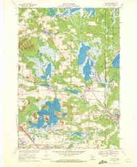
1970 · Wyeville
USGS Topo · 1:24,000
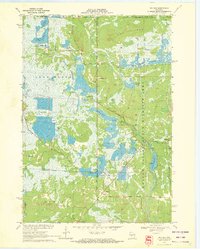
1970 · Mather
USGS Topo · 1:24,000