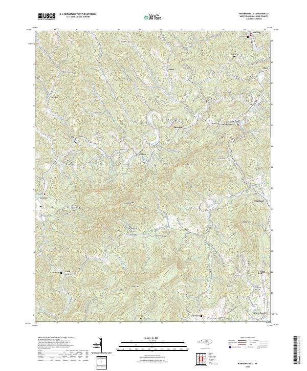
2022 Map of Warrensville
USGS Topo · Published 2022About this map
The North Fork New River meanders through the heart of this Ashe County landscape, defining the valley where settlements like Warrensville and Clifton are established. High-elevation peaks such as Three Top Mtn and Bluff Mtn dominate the southern half of the sheet, creating a dramatic topographical backdrop for the small communities of Trout and Creston. The area is characterized by a dense network of mountain roads, many bearing family names like Monroe Miller Rd and Robert Faw Rd, which link scattered homesteads to local centers like Lansing and West Jefferson.
Find a feature on this map
147 named features on this map. Tap any name to fly to it.
Don’t see what you’re looking for? This feature index may not catch every label — zoom into the map to look around manually.
Map Details
Editions of this 2022 Warrensville Map
This is the sole edition of this map. No revisions or reprints were ever made.
Other maps of this area

1889 · Wytheville
USGS Topo · 1:125,000

1889 · Wilkesboro
USGS Topo · 1:125,000

1891 · Abingdon
USGS Topo · 1:125,000

1891 · Wilkesboro
USGS Topo · 1:125,000

1892 · Wytheville
USGS Topo · 1:125,000

1893 · Cranberry
USGS Topo · 1:125,000

1894 · Abingdon
USGS Topo · 1:125,000

1895 · Cranberry
USGS Topo · 1:125,000

1899 · Cranberry
USGS Topo · 1:125,000

1902 · Cranberry
USGS Topo · 1:125,000