Loading...
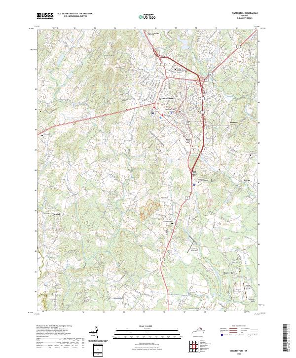
Loading map...2022 Map of Warrenton
USGS Topo · Published 2022About this map
Warrenton serves as the focal point of this Northern Virginia landscape, where the historic Fauquier County Courthouse sits at the junction of traditional routes like Alexandria Pike and Washington St. The town's heritage is deeply etched into the land, visible in the concentrated area of the Warrenton Cem and the outlying William Edmonds Family Cem. To the west, the elevation rises sharply at Viewtree Mtn, while the southern reaches descend into the Culpeper Basin.
Find a feature on this map
190 named features on this map. Tap any name to fly to it.
Don’t see what you’re looking for? This feature index may not catch every label — zoom into the map to look around manually.
Map Details
Date Portrayed2022
Date Published2022
PublisherU.S. Geological Survey
Map TypeTopographic
Scale1:24000
Physical Dimensions24 x 29 inches
Editions of this 2022 Warrenton Map
This is the sole edition of this map. No revisions or reprints were ever made.
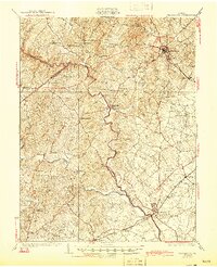
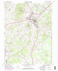
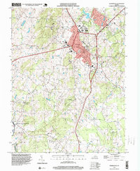
Historical Maps of Turnbull Through Time
6 maps found


Featured Locations
Source Details
SourceU.S. Geological Survey
CopyrightPublic Domain