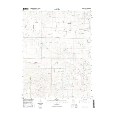
2015 Map of Warrenton NE
USGS Topo · Published 2015About this map
The Troy area of Missouri is defined by a dense network of family cemeteries and small waterways that speak to generations of rural life along the Warren Co Lincoln Co line. Numerous burial grounds, including Old Davis Cemetery, Slavens Cemetery, and Shelton Cemetery, are scattered throughout the agricultural landscape, providing valuable points of reference for genealogists tracing early residents. The terrain is deeply etched by creeks such as Coon Cr, Meister Br, and Big Creek, which feed into local reservoirs like Schupmann Lake and Crystal Lake. Small private aviation hubs like Woodland Airstrip and Monroe Field dot the countryside, while the western edge of Troy marks the transition from rural townships to a more concentrated settlement. This survey documents the persistent rural character of these Missouri townships, where local history is preserved in small family plots and named country roads.
Find a feature on this map
111 named features on this map. Tap any name to fly to it.
Don’t see what you’re looking for? This feature index may not catch every label — zoom into the map to look around manually.
Map Details
Editions of this 2015 Warrenton NE Map
This is the sole edition of this map. No revisions or reprints were ever made.
Other maps of this area

1890 · Louisiana
USGS Topo · 1:125,000

1890 · Hermann
USGS Topo · 1:125,000

1903 · O'Fallon
USGS Topo · 1:125,000

1934 · Elsberry
USGS Topo · 1:48,000

1937 · Silex
USGS Topo · 1:62,500

1939 · Silex
USGS Topo · 1:48,000

1941 · Troy
USGS Topo · 1:62,500

1942 · Elsberry
USGS Topo · 1:62,500

1943 · Warrenton
USGS Topo · 1:62,500

1945 · Troy
USGS Topo · 1:62,500