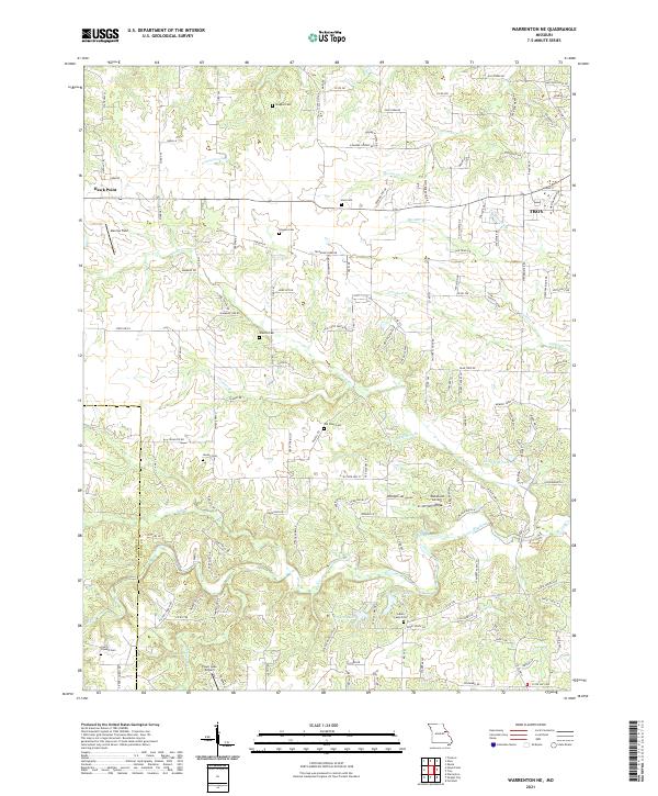
2021 Map of Warrenton NE
USGS Topo · Published 2021About this map
The rolling landscape of eastern Missouri is defined by a dense network of tributaries and small family burial grounds along the Warren and Lincoln county line. Waterways such as Hickory Lick Cr, Big Creek, and Coon Cr carve through the terrain, illustrating the historical importance of drainage and water access for local agriculture. The map reveals a high concentration of small cemeteries, including Indian Camp Cem, Harvey Cem, and Old Davis Cem, which serve as vital markers for genealogical research and the early settlement patterns of the region.
Find a feature on this map
147 named features on this map. Tap any name to fly to it.
Don’t see what you’re looking for? This feature index may not catch every label — zoom into the map to look around manually.
Map Details
Editions of this 2021 Warrenton NE Map
This is the sole edition of this map. No revisions or reprints were ever made.
Historical Maps of Troy Through Time
11 maps found
1972 Maryknoll
Lincoln County, MO
1973 Warrenton NE
Lincoln County, MO
1975 Auburn
Lincoln County, MO
1975 Luckett Ridge
Lincoln County, MO
1975 Okete
Lincoln County, MO
1979 Maryknoll
Lincoln County, MO
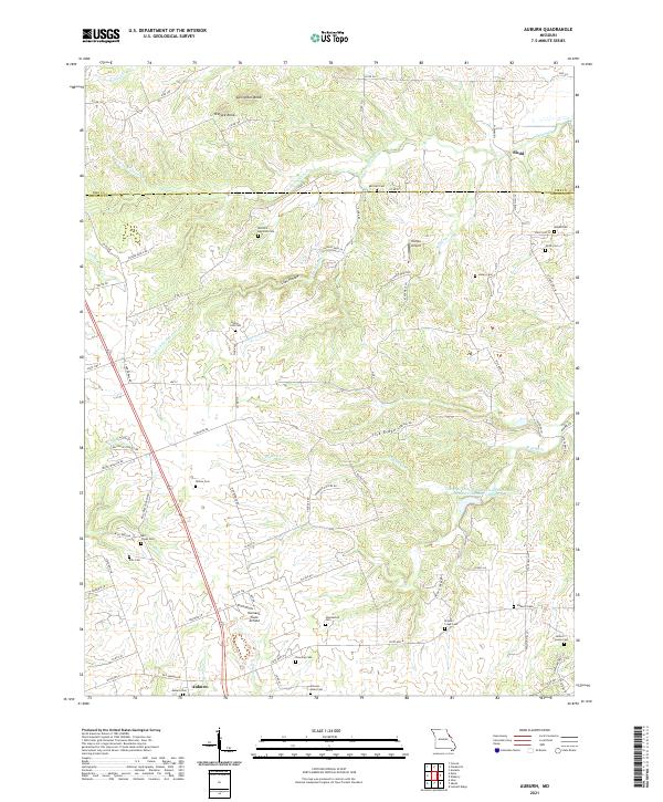
2021 Auburn
Lincoln County, MO
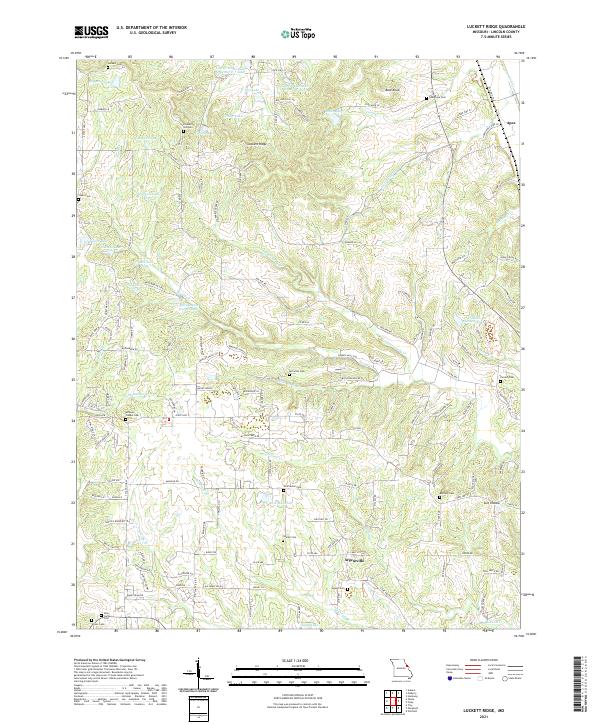
2021 Luckett Ridge
Lincoln County, MO
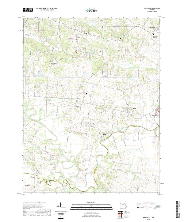
2021 Maryknoll
Lincoln County, MO
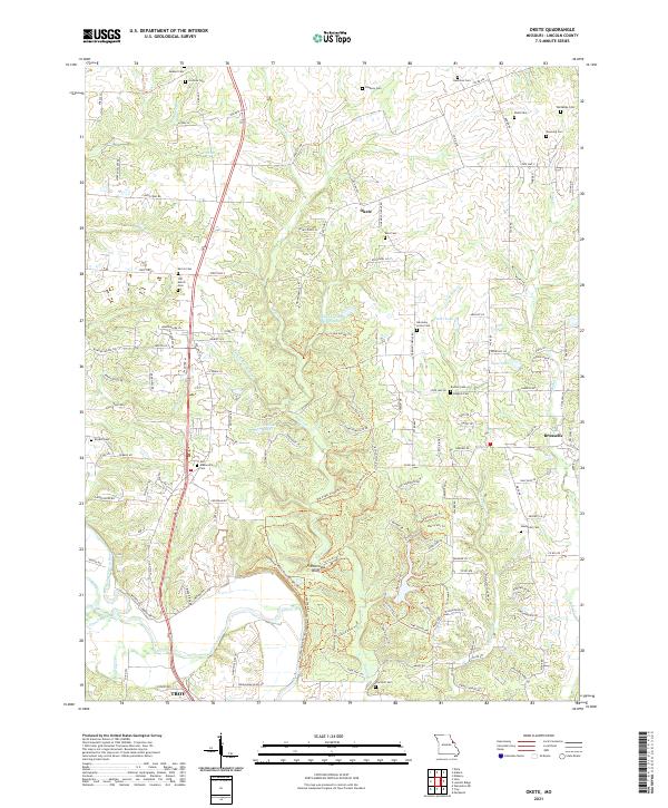
2021 Okete
Lincoln County, MO
2021 Warrenton NE
Lincoln County, MO