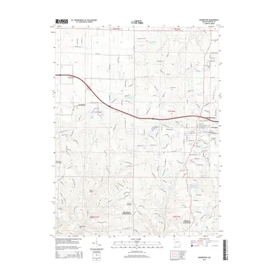
2015 Map of Warrenton
USGS Topo · Published 2015About this map
Warrenton serves as the focal point of this Warren County landscape, showing its continued growth alongside neighboring Truesdale and the smaller settlement of Pendleton. The map captures a mix of established residential neighborhoods and agricultural land, where distinct rural areas like the Macedonia Neighborhood and the Lippstadt Community maintain their identities. Historically significant sites are well-documented, including the Holy Rosary Church and several burial grounds such as Camp Branch Cemetery and the uniquely named Rattle Cemetery.
Find a feature on this map
84 named features on this map. Tap any name to fly to it.
Don’t see what you’re looking for? This feature index may not catch every label — zoom into the map to look around manually.
Map Details
Editions of this 2015 Warrenton Map
This is the sole edition of this map. No revisions or reprints were ever made.
Other maps of this area

1890 · Hermann
USGS Topo · 1:125,000

1936 · Hermann
USGS Topo · 1:48,000

1942 · Hermann
USGS Topo · 1:62,500

1942 · New Florence
USGS Topo · 1:62,500

1943 · Warrenton
USGS Topo · 1:62,500

1945 · Hermann
USGS Topo · 1:62,500

1945 · Warrenton
USGS Topo · 1:62,500

1946 · New Florence
USGS Topo · 1:62,500

1948 · Washington
USGS Topo · 1:62,500

1949 · Saint Louis
USGS Topo · 1:250,000