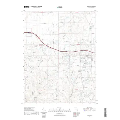
2017 Map of Warrenton
USGS Topo · Published 2017About this map
Warrenton and Truesdale anchor the eastern side of this Missouri landscape, where the corridor of W Veterans Memorial Pkwy connects the larger towns to the smaller settlement of Pendleton. The topography is defined by significant ridges and hollows, such as the Pendleton Hills and Polston Hollow, which create a complex drainage system feeding into numerous named bodies of water. The variety of lake types—from the recreational Ramada Camp Inn Lake to the localized Lowell-Sprick Lake and Seven Oaks Ranch Lake—indicates a transition from municipal development to rural land management.
Find a feature on this map
63 named features on this map. Tap any name to fly to it.
Don’t see what you’re looking for? This feature index may not catch every label — zoom into the map to look around manually.
Map Details
Editions of this 2017 Warrenton Map
This is the sole edition of this map. No revisions or reprints were ever made.
Other maps of this area

1890 · Hermann
USGS Topo · 1:125,000

1936 · Hermann
USGS Topo · 1:48,000

1942 · Hermann
USGS Topo · 1:62,500

1942 · New Florence
USGS Topo · 1:62,500

1943 · Warrenton
USGS Topo · 1:62,500

1945 · Hermann
USGS Topo · 1:62,500

1945 · Warrenton
USGS Topo · 1:62,500

1946 · New Florence
USGS Topo · 1:62,500

1948 · Washington
USGS Topo · 1:62,500

1949 · Saint Louis
USGS Topo · 1:250,000