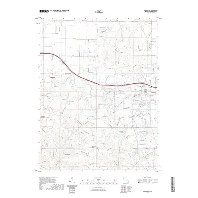
2021 Map of Warrenton
USGS Topo · Published 2021About this map
The Warrenton and Truesdale area serves as a significant administrative and transit hub within Warren County, anchored by the Warren County Courthouse. This 2021 survey illustrates a landscape where municipal growth meets a complex system of local drainage and private water bodies. Numerous man-made lakes, such as Lake Oyate, Birkemeier Lake, and Stein Lake, are scattered across the terrain, reflecting the modern residential and recreational development of the Missouri countryside.
Find a feature on this map
134 named features on this map. Tap any name to fly to it.
Don’t see what you’re looking for? This feature index may not catch every label — zoom into the map to look around manually.
Map Details
Editions of this 2021 Warrenton Map
This is the sole edition of this map. No revisions or reprints were ever made.
Other maps of this area

1890 · Hermann
USGS Topo · 1:125,000

1936 · Hermann
USGS Topo · 1:48,000

1942 · Hermann
USGS Topo · 1:62,500

1942 · New Florence
USGS Topo · 1:62,500

1943 · Warrenton
USGS Topo · 1:62,500

1945 · Hermann
USGS Topo · 1:62,500

1945 · Warrenton
USGS Topo · 1:62,500

1946 · New Florence
USGS Topo · 1:62,500

1948 · Washington
USGS Topo · 1:62,500

1949 · Saint Louis
USGS Topo · 1:250,000