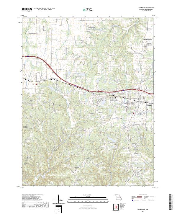
2023 Map of Warrenton
USGS Topo · Published 2023About this map
Warrenton serves as the focal point of this Warren County landscape, positioned where the plateau transitions into the drainage systems of the Missouri River. The map documents the close relationship between the county seat and its neighbor Truesdale, while to the west, the smaller settlement of Pendleton sits near the headwaters of Big Creek. This era of the region is characterized by a mix of traditional agricultural land and modern infrastructure, including the Stark Airport and the centrally located Warren County Courthouse.
Find a feature on this map
163 named features on this map. Tap any name to fly to it.
Don’t see what you’re looking for? This feature index may not catch every label — zoom into the map to look around manually.
Map Details
Editions of this 2023 Warrenton Map
This is the sole edition of this map. No revisions or reprints were ever made.
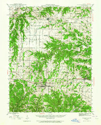
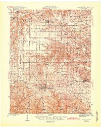
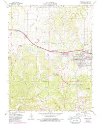
Historical Maps of Pendleton Through Time
4 maps found