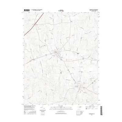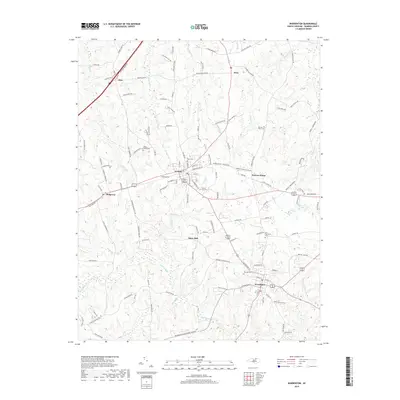
2022 Map of Warrenton
USGS Topo · Published 2022About this map
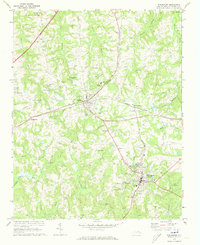
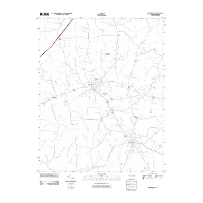
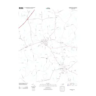
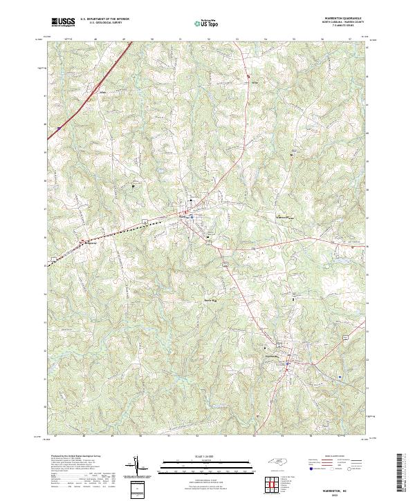
The Warren County Courthouse stands as the central landmark of Warrenton, anchor of this Warren County landscape where small-town grids meet a dense network of country lanes. The modern topography reveals a transition from the structured residential blocks of Norlina and Warrenton to the agricultural reaches near Warren Plains and Wise. For genealogists, the map is particularly rich in burial sites, documenting several notable locations including the Old Warrenton Cem and Fairview Cem.
Find a feature on this map
125 named features on this map. Tap any name to fly to it.
Don’t see what you’re looking for? This feature index may not catch every label — zoom into the map to look around manually.
Map Details
Editions of this 2022 Warrenton Map
This is the sole edition of this map. No revisions or reprints were ever made.
Historical Maps of Norlina Through Time
7 maps found