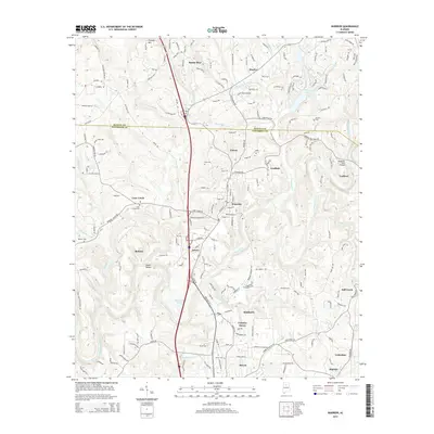
2014 Map of Warrior
USGS Topo · Published 2014About this map
The Locust Fork of the Black Warrior River carves through the landscape of northern Jefferson County, defining the geography of industrial and residential communities in the early 21st century. This area, spanning the border with Blount County, is anchored by the historic rail-connected town of Warrior and the neighboring settlements of Kimberly and Morris. The map documents a blend of established infrastructure and natural landmarks, such as Sharit Shoals and the crossing at McKnally Ford Bridge. Local family and community history is preserved through numerous burial sites, including Elvester Cem, Enon Cem, and Cain Creek Cem. The terrain is characterized by significant elevations like Thomas Mtn and the winding paths of Sibleyville Cr and Cane Cr, illustrating the complex drainage patterns that have influenced the development of small communities like Coaldale and Trafford.
Find a feature on this map
186 named features on this map. Tap any name to fly to it.
Don’t see what you’re looking for? This feature index may not catch every label — zoom into the map to look around manually.
Map Details
Editions of this 2014 Warrior Map
This is the sole edition of this map. No revisions or reprints were ever made.
Other maps of this area

1889 · Birmingham
USGS Topo · 1:125,000

1892 · Birmingham
USGS Topo · 1:125,000

1895 · Birmingham
USGS Topo · 1:125,000

1904 · Birmingham Coal District
USGS Topo · 1:62,500

1905 · Leeds
USGS Topo · 1:62,500

1906 · Birmingham Special
USGS Topo · 1:62,500

1907 · Birmingham
USGS Topo · 1:125,000

1907 · Leeds
USGS Topo · 1:62,500

1951 · Arkadelphia
USGS Topo · 1:24,000

1951 · Warrior
USGS Topo · 1:24,000