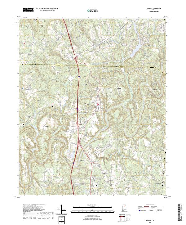
2024 Map of Warrior
USGS Topo · Published 2024About this map
The Locust Fork river carves a winding path through the heart of this North Alabama landscape, defining the topography for the communities of Warrior and Kimberly. This 2024 survey illustrates the modern intersection of heavy transport corridors like I-65 and Us HWY 31 with long-standing rural settlements. Genealogists will find a high density of burial sites throughout the hills, including Stewarts Chapel Cem, Enon Cem, and Cain Creek Missionary Baptist Cem. Historical river crossings and landforms remain prominent features, such as Doss Ferry and the rocky Sharit Shoals along the riverbed. The map also delineates the Blount Co Jefferson Co line, showing how these jurisdictions divide the suburban developments of Smoke Rise from the traditional town centers of Morris and Trafford.
Find a feature on this map
47 named features on this map. Tap any name to fly to it.
Don’t see what you’re looking for? This feature index may not catch every label — zoom into the map to look around manually.
Map Details
Editions of this 2024 Warrior Map
This is the sole edition of this map. No revisions or reprints were ever made.
Other maps of this area

1889 · Birmingham
USGS Topo · 1:125,000

1892 · Birmingham
USGS Topo · 1:125,000

1895 · Birmingham
USGS Topo · 1:125,000

1904 · Birmingham Coal District
USGS Topo · 1:62,500

1905 · Leeds
USGS Topo · 1:62,500

1906 · Birmingham Special
USGS Topo · 1:62,500

1907 · Birmingham
USGS Topo · 1:125,000

1907 · Leeds
USGS Topo · 1:62,500

1951 · Arkadelphia
USGS Topo · 1:24,000

1951 · Warrior
USGS Topo · 1:24,000