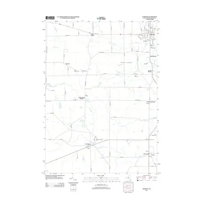
2013 Map of Warsaw
USGS Topo · Published 2013About this map
The village of Warsaw serves as a primary hub in Wyoming County, positioned where Oatka Cr flows northward through the valley. This landscape is defined by its deep agricultural roots and distributed settlements like Wethersfield Springs and Hermitage. The area's spiritual and community history is etched into the terrain through numerous burial grounds, including the Quaker Meeting House Cem and Quaker Settlement Cem, reflecting the early influence of the Society of Friends.
Find a feature on this map
94 named features on this map. Tap any name to fly to it.
Don’t see what you’re looking for? This feature index may not catch every label — zoom into the map to look around manually.
Map Details
Editions of this 2013 Warsaw Map
This is the sole edition of this map. No revisions or reprints were ever made.
Other maps of this area

1904 · Batavia
USGS Topo · 1:62,500

1905 · Attica
USGS Topo · 1:62,500

1905 · Portage
USGS Topo · 1:62,500

1923 · Arcade
USGS Topo · 1:62,500

1925 · Arcade
USGS Topo · 1:62,500

1943 · Warsaw
USGS Topo · 1:24,000

1943 · Castile
USGS Topo · 1:24,000

1943 · Portageville
USGS Topo · 1:24,000

1943 · Pike
USGS Topo · 1:24,000

1944 · Pike
USGS Topo · 1:31,680