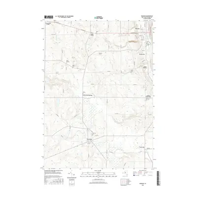
2016 Map of Warsaw
USGS Topo · Published 2016About this map
Warsaw and its surrounding rural townships define this Wyoming County landscape, where the valley floor of Oatka Cr meets the rising terrain of western New York. The map reveals a dense distribution of local heritage sites, particularly in the concentration of burial grounds like Warsaw Cem and Saint Michaels Cem near the village center. Further south and west, the settlement pattern transitions to smaller hamlets and agricultural crossroads including Wethersfield Springs and Hermitage.
Find a feature on this map
69 named features on this map. Tap any name to fly to it.
Don’t see what you’re looking for? This feature index may not catch every label — zoom into the map to look around manually.
Map Details
Editions of this 2016 Warsaw Map
This is the sole edition of this map. No revisions or reprints were ever made.
Other maps of this area

1904 · Batavia
USGS Topo · 1:62,500

1905 · Attica
USGS Topo · 1:62,500

1905 · Portage
USGS Topo · 1:62,500

1923 · Arcade
USGS Topo · 1:62,500

1925 · Arcade
USGS Topo · 1:62,500

1943 · Warsaw
USGS Topo · 1:24,000

1943 · Castile
USGS Topo · 1:24,000

1943 · Portageville
USGS Topo · 1:24,000

1943 · Pike
USGS Topo · 1:24,000

1944 · Pike
USGS Topo · 1:31,680