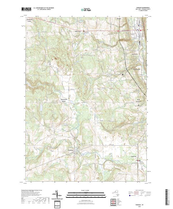
2023 Map of Warsaw
USGS Topo · Published 2023About this map
The Wyoming County Courthouse serves as the focal point for the village of Warsaw, where the street grid transitions into the surrounding agricultural landscape of Wyoming County. This area is characterized by a high density of genealogical sites, including the Quaker Meeting House Cem and Quaker Settlement Cem near Wethersfield Springs. These markers indicate early religious and communal foundations that predate the modern layout of towns like Gainesville and Hermitage.
Find a feature on this map
90 named features on this map. Tap any name to fly to it.
Don’t see what you’re looking for? This feature index may not catch every label — zoom into the map to look around manually.
Map Details
Editions of this 2023 Warsaw Map
This is the sole edition of this map. No revisions or reprints were ever made.
Other maps of this area

1904 · Batavia
USGS Topo · 1:62,500

1905 · Attica
USGS Topo · 1:62,500

1905 · Portage
USGS Topo · 1:62,500

1923 · Arcade
USGS Topo · 1:62,500

1925 · Arcade
USGS Topo · 1:62,500

1943 · Warsaw
USGS Topo · 1:24,000

1943 · Castile
USGS Topo · 1:24,000

1943 · Portageville
USGS Topo · 1:24,000

1943 · Pike
USGS Topo · 1:24,000

1944 · Pike
USGS Topo · 1:31,680