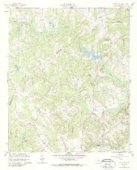
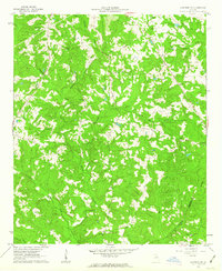
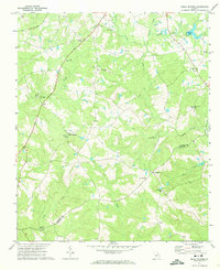
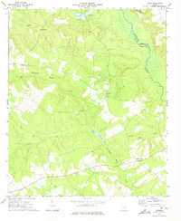
1960 Map of Warthen NE
USGS Topo · Published 1987About this map
The Little Ogeechee River and its numerous tributaries, including Cowpen Creek and Stabley Branch, carve through this landscape along the Hancock and Washington County line. The map highlights a rural economy centered on water management and spiritual life, evidenced by the presence of Hamburg Millpond and Burgamy Millpond, alongside several local congregations such as New Hope Ch and St James Ch. A decommissioned transportation corridor is visible via the Old Railroad Grade in the southeastern quadrant near Patterson Creek. Geologists and local historians may find interest in the documented Mineral Springs and the scattered family-named features like McWhorter Pond and the Cummings Cemetery, which provide specific points of reference for genealogical research in this Georgia backcountry.
Find a feature on this map
26 named features on this map. Tap any name to fly to it.
Don’t see what you’re looking for? This feature index may not catch every label — zoom into the map to look around manually.
Map Details
Editions of this 1960 Warthen NE Map
2 editions found
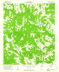
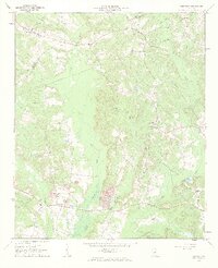
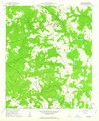
Other maps of this area

1953 · Athens
USGS Topo · 1:250,000

1958 · Athens
USGS Topo · 1:250,000

1959 · Athens
USGS Topo · 1:250,000
1960 · Warthen NE
USGS Topo · 1:24,000
1961 · Deepstep
USGS Topo · 1:24,000
1961 · Warthen
USGS Topo · 1:24,000
1961 · Warthen NW
USGS Topo · 1:24,000

1963 · Athens
USGS Topo · 1:250,000
1971 · Beall Springs
USGS Topo · 1:24,000
1972 · Downs
USGS Topo · 1:24,000