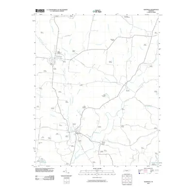
2022 Map of Wartrace
USGS Topo · Published 2022About this map
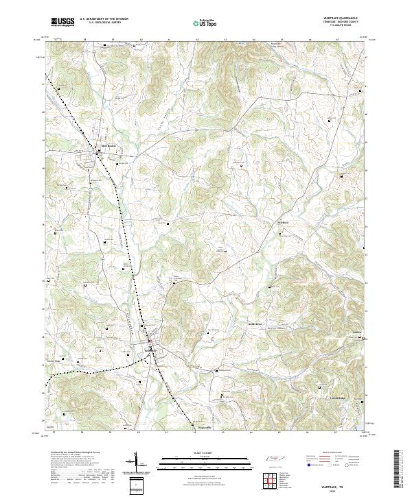
Wartrace and Bell Buckle stand as the primary hubs of this Bedford County landscape, where the CSX Transportation railroad line tracks through the valley floor. The map reveal a dense network of family and community burial grounds, including the centrally located Wartrace Cem and the Old Salem Cem near Bell Buckle, indicating a long-established rural settlement pattern. Smaller hamlets like Fairfield and Bugscuffle dot the countryside, connected by historic thoroughfares such as Liberty Pike and Fairfield Pike.
Find a feature on this map
126 named features on this map. Tap any name to fly to it.
Don’t see what you’re looking for? This feature index may not catch every label — zoom into the map to look around manually.
Map Details
Editions of this 2022 Wartrace Map
This is the sole edition of this map. No revisions or reprints were ever made.
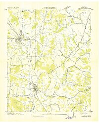
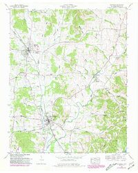
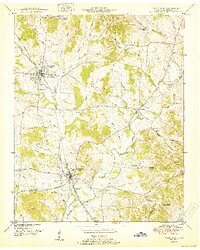
Historical Maps of Wartrace Through Time
8 maps found