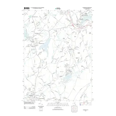
2013 Map of Warwick
USGS Topo · Published 2013About this map
The agrarian and village character of Orange County is preserved across this landscape, which centers on the village of Warwick and its northern neighbors. Large tracts of agricultural land are visible in the central valley, including the Applewood Orchards, Wright Family Farm, and Bellvale Farms, highlighting the region's enduring orchard and dairy traditions. The topography is defined by significant rises such as Sugarloaf Mountain and Goose Pond Mountain, which bound the valley to the east, while the Black Meadows and Black Meadow Cr define the lower-lying drainage patterns of the interior.
Find a feature on this map
64 named features on this map. Tap any name to fly to it.
Don’t see what you’re looking for? This feature index may not catch every label — zoom into the map to look around manually.
Map Details
Editions of this 2013 Warwick Map
This is the sole edition of this map. No revisions or reprints were ever made.
Other maps of this area

1891 · Greenwood Lake
USGS Topo · 1:62,500

1891 · Ramapo
USGS Topo · 1:62,500

1893 · Greenwood Lake
USGS Topo · 1:62,500

1893 · Ramapo
USGS Topo · 1:62,500

1902 · Schunemunk
USGS Topo · 1:62,500

1903 · Greenwood Lake
USGS Topo · 1:62,500

1906 · Goshen
USGS Topo · 1:62,500

1908 · Goshen
USGS Topo · 1:62,500

1910 · Ramapo
USGS Topo · 1:62,500

1910 · Greenwood Lake
USGS Topo · 1:62,500