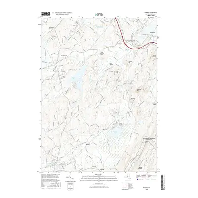
2016 Map of Warwick
USGS Topo · Published 2016About this map
Warwick and its surrounding hamlets are defined by a mix of agricultural lowlands and the prominent ridges of the Reading Prong. The landscape is dotted with distinct local settlements like Florida, Sugar Loaf, and Bellvale, reflecting the deep-seated community structures of Orange County. Significant water bodies such as Glenmere Lake and Wickham Lake occupy the basins between hills, while Wawayanda Cr and the Otter Kill drainage system provide the primary hydrologic framework for the area.
Find a feature on this map
52 named features on this map. Tap any name to fly to it.
Don’t see what you’re looking for? This feature index may not catch every label — zoom into the map to look around manually.
Map Details
Editions of this 2016 Warwick Map
This is the sole edition of this map. No revisions or reprints were ever made.
Other maps of this area

1891 · Greenwood Lake
USGS Topo · 1:62,500

1891 · Ramapo
USGS Topo · 1:62,500

1893 · Greenwood Lake
USGS Topo · 1:62,500

1893 · Ramapo
USGS Topo · 1:62,500

1902 · Schunemunk
USGS Topo · 1:62,500

1903 · Greenwood Lake
USGS Topo · 1:62,500

1906 · Goshen
USGS Topo · 1:62,500

1908 · Goshen
USGS Topo · 1:62,500

1910 · Ramapo
USGS Topo · 1:62,500

1910 · Greenwood Lake
USGS Topo · 1:62,500