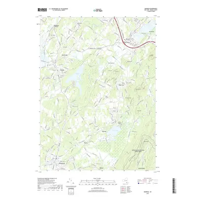
2019 Map of Warwick
USGS Topo · Published 2019About this map
Warwick and the surrounding Orange County countryside appear in this contemporary topographic snapshot, defined by a patchwork of small settlements and prominent ridgelines. The village of Florida sits at a crossroads to the west, while Chester and East Chester anchor the northeastern corner near the Goshen Number Two Reservoir. The landscape is notably punctuated by local burial grounds such as Florida Cem, Chester Cem, and Roe Cem, which provide clear reference points for those researching local family ties.
Find a feature on this map
220 named features on this map. Tap any name to fly to it.
Don’t see what you’re looking for? This feature index may not catch every label — zoom into the map to look around manually.
Map Details
Editions of this 2019 Warwick Map
This is the sole edition of this map. No revisions or reprints were ever made.
Other maps of this area

1891 · Greenwood Lake
USGS Topo · 1:62,500

1891 · Ramapo
USGS Topo · 1:62,500

1893 · Greenwood Lake
USGS Topo · 1:62,500

1893 · Ramapo
USGS Topo · 1:62,500

1902 · Schunemunk
USGS Topo · 1:62,500

1903 · Greenwood Lake
USGS Topo · 1:62,500

1906 · Goshen
USGS Topo · 1:62,500

1908 · Goshen
USGS Topo · 1:62,500

1910 · Ramapo
USGS Topo · 1:62,500

1910 · Greenwood Lake
USGS Topo · 1:62,500