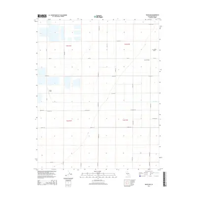
2015 Map of Wasco NW
USGS Topo · Published 2015About this map
San Joaquin Valley agriculture dominates this portion of the Central Valley in Kern County, defined by a rigid grid of irrigation and transport. The landscape is organized around major section lines and thoroughfares such as W Elmo Hwy, Pond Rd, and Wildwood Rd, illustrating the industrial scale of California's interior farming. A significant landmark for local aviation and surveying is the Cashen Airport, situated north of where Poso Creek cuts through the western edge of the quadrangle. This intermittent waterway provides one of the few natural breaks in the geometric precision of the township and range system, specifically within t25s r23e and t26s r24e. The map captures the highly managed nature of the terrain, showing the transition from open fields to the developed infrastructure required for large-scale cultivation.
Find a feature on this map
25 named features on this map. Tap any name to fly to it.
Don’t see what you’re looking for? This feature index may not catch every label — zoom into the map to look around manually.
Map Details
Editions of this 2015 Wasco NW Map
This is the sole edition of this map. No revisions or reprints were ever made.
Other maps of this area

1914 · Lost Hills
USGS Topo · 1:125,000

1927 · Semitropic
USGS Topo · 1:31,680

1929 · Hacienda Ranch
USGS Topo · 1:31,680

1929 · Stone
USGS Topo · 1:31,680

1929 · Allensworth
USGS Topo · 1:31,680

1930 · Leonards
USGS Topo · 1:31,680

1930 · Hamlin School
USGS Topo · 1:31,680

1930 · Wasco
USGS Topo · 1:31,680

1930 · Pond
USGS Topo · 1:31,680

1930 · Miramonte Ranch
USGS Topo · 1:31,680