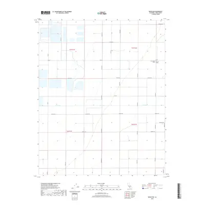
2018 Map of Wasco NW
USGS Topo · Published 2018About this map
Poso Creek cuts a distinct horizontal path through this section of the San Joaquin Valley, reflecting the highly organized agricultural grid of the Central Valley. The landscape is defined by a rigorous network of section lines and transport corridors, including major routes like Elmo Hwy and Wildwood Rd. These roads segment the territory into massive agricultural plots, a structure established by the Public Land Survey System as indicated by the township boundaries of t25s r23e and t25s r24e. The presence of several catchment basins and the channelized nature of the creek emphasize the region's total conversion to industrial-scale farming. Local access is provided by family and place-named thoroughfares such as Rowlee Rd, Scofield Rd, and Hanawalt Ave, which serve the rural infrastructure in this fertile interior basin.
Find a feature on this map
23 named features on this map. Tap any name to fly to it.
Don’t see what you’re looking for? This feature index may not catch every label — zoom into the map to look around manually.
Map Details
Editions of this 2018 Wasco NW Map
This is the sole edition of this map. No revisions or reprints were ever made.
Other maps of this area

1914 · Lost Hills
USGS Topo · 1:125,000

1927 · Semitropic
USGS Topo · 1:31,680

1929 · Hacienda Ranch
USGS Topo · 1:31,680

1929 · Stone
USGS Topo · 1:31,680

1929 · Allensworth
USGS Topo · 1:31,680

1930 · Leonards
USGS Topo · 1:31,680

1930 · Hamlin School
USGS Topo · 1:31,680

1930 · Wasco
USGS Topo · 1:31,680

1930 · Pond
USGS Topo · 1:31,680

1930 · Miramonte Ranch
USGS Topo · 1:31,680