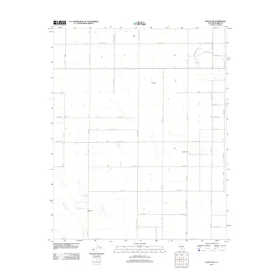
2012 Map of Wasco SW
USGS Topo · Published 2012About this map
Agricultural development and petroleum extraction define this stretch of the San Joaquin Valley west of Wasco. The expansive Wasco Oil Field occupies a central position, illustrating the regional reliance on the oil industry amidst an otherwise rural landscape. Large-scale farming and ranching operations are prominent, including Twin Farms in the north and the Goose Lake Ranch toward the south. The natural drainage of the valley is represented by Jerry Slough and the waters of Frey Ave, which cut through a highly structured grid of section roads. The map captures a moment of transition where legacy ranching interests meet modern industrial dairy production, such as the Skyview Dairy, all connected by a network of local arteries like Lerdo Hwy and Kimberlina Rd.
Find a feature on this map
35 named features on this map. Tap any name to fly to it.
Don’t see what you’re looking for? This feature index may not catch every label — zoom into the map to look around manually.
Map Details
Editions of this 2012 Wasco SW Map
This is the sole edition of this map. No revisions or reprints were ever made.
Other maps of this area

1910 · Buena Vista Lake
USGS Topo · 1:125,000

1912 · McKittrick
USGS Topo · 1:125,000

1912 · Buena Vista Lake
USGS Topo · 1:125,000

1914 · Lost Hills
USGS Topo · 1:125,000

1927 · Semitropic
USGS Topo · 1:31,680

1930 · Leonards
USGS Topo · 1:31,680

1930 · Hamlin School
USGS Topo · 1:31,680

1930 · Wasco
USGS Topo · 1:31,680

1930 · Pond
USGS Topo · 1:31,680

1930 · Miramonte Ranch
USGS Topo · 1:31,680