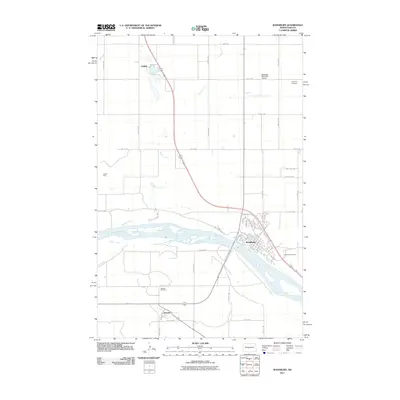
2011 Map of Washburn
USGS Topo · Published 2011About this map
The Missouri River creates a wide, braided path through this central North Dakota landscape, anchoring the regional center of Washburn. The town's grid is bounded by the river to the south, where the Riverview Cemetery overlooks the water, and the Washburn Municipal Airport to the north. Settlement patterns here reflect the transition from river-based transit to modern infrastructure, with the Lewis And Clark Trl mirroring the ancient waterway.
Find a feature on this map
39 named features on this map. Tap any name to fly to it.
Don’t see what you’re looking for? This feature index may not catch every label — zoom into the map to look around manually.
Map Details
Editions of this 2011 Washburn Map
This is the sole edition of this map. No revisions or reprints were ever made.
Other maps of this area

1949 · Turtle Creek
USGS Topo · 1:62,500

1949 · Washburn
USGS Topo · 1:62,500

1950 · Wilton
USGS Topo · 1:62,500

1954 · McClusky
USGS Topo · 1:250,000

1958 · McClusky
USGS Topo · 1:250,000

1961 · Turtle Creek SW
USGS Topo · 1:24,000

1961 · Washburn
USGS Topo · 1:24,000

1961 · Washburn NE
USGS Topo · 1:24,000

1961 · Turtle Creek NW
USGS Topo · 1:24,000

1961 · Underwood
USGS Topo · 1:24,000