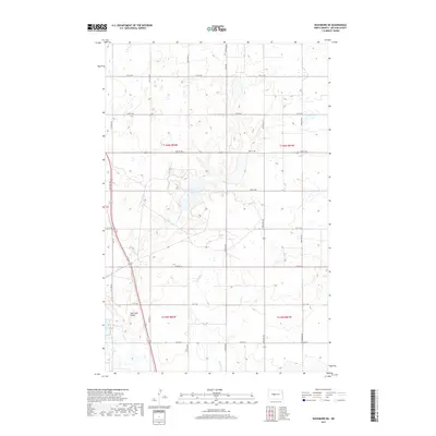
2017 Map of Washburn NE
USGS Topo · Published 2017About this map
Coal Lake sits at the center of this agricultural landscape in McLean County, a defining hydrological feature in an area characterized by seasonal wetlands and prairie drainage. The winding course of Buffalo Cr cuts through the southern sections of the quadrangle, illustrating the natural water management of the North Dakota plains before modern intensive development. While the terrain is largely defined by the Public Land Survey System grid of section lines and gravel roads, the topography reveals the underlying glacial history through subtle coulees and basins. This survey provides a clear view of the rural infrastructure and land use patterns of the early twenty-first century, showing the relationship between the prairie wetlands and the local road network.
Find a feature on this map
2 named features on this map. Tap any name to fly to it.
Don’t see what you’re looking for? This feature index may not catch every label — zoom into the map to look around manually.
Map Details
Editions of this 2017 Washburn NE Map
This is the sole edition of this map. No revisions or reprints were ever made.
Other maps of this area

1929 · Coleharbor
USGS Topo · 1:62,500

1947 · Turtle Lake
USGS Topo · 1:62,500

1949 · Turtle Creek
USGS Topo · 1:62,500

1949 · Washburn
USGS Topo · 1:62,500

1954 · McClusky
USGS Topo · 1:250,000

1958 · McClusky
USGS Topo · 1:250,000

1961 · Turtle Creek SW
USGS Topo · 1:24,000

1961 · Turtle Lake
USGS Topo · 1:24,000

1961 · Lake Nettie
USGS Topo · 1:24,000

1961 · Washburn
USGS Topo · 1:24,000