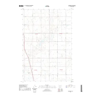
2020 Map of Washburn NE
USGS Topo · Published 2020About this map
Coal Lake and its surrounding prairie depressions dominate this section of the Missouri Plateau in McLean County. The landscape is defined by the glacial legacy of central North Dakota, where drainage follows subtle undulations like Buffalo Cr and the topographic indentation of Coal Lake Coulee. This 2020 survey illustrates a quintessential section-line road network, where routes such as McLean Co 25 and Co Hwy 16 precisely follow the township and range boundaries of t146n r82w and t146n r81w. The map preserves the names of these essential water features and rural arteries that serve the agricultural heartland, reflecting a modern continuation of the original 19th-century land surveys.
Find a feature on this map
27 named features on this map. Tap any name to fly to it.
Don’t see what you’re looking for? This feature index may not catch every label — zoom into the map to look around manually.
Map Details
Editions of this 2020 Washburn NE Map
This is the sole edition of this map. No revisions or reprints were ever made.
Other maps of this area

1929 · Coleharbor
USGS Topo · 1:62,500

1947 · Turtle Lake
USGS Topo · 1:62,500

1949 · Turtle Creek
USGS Topo · 1:62,500

1949 · Washburn
USGS Topo · 1:62,500

1954 · McClusky
USGS Topo · 1:250,000

1958 · McClusky
USGS Topo · 1:250,000

1961 · Turtle Creek SW
USGS Topo · 1:24,000

1961 · Turtle Lake
USGS Topo · 1:24,000

1961 · Lake Nettie
USGS Topo · 1:24,000

1961 · Washburn
USGS Topo · 1:24,000