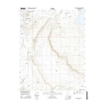
2017 Map of Washington Dome
USGS Topo · Published 2017About this map
Washington and the residential expansion of Washington Fields dominate the western edge of this landscape, where the Virgin River flows past the prominent Shinob Kibe mesa. The area is defined by a dramatic transition from town streets like Rio Virgin Dr and Galilee Way to the stark geology of the Warner Valley. As the elevation rises toward the east, the map reveals a series of distinctive geological formations, including Washington Dome, Punchbowl Dome, and Beehive Dome.
Find a feature on this map
45 named features on this map. Tap any name to fly to it.
Don’t see what you’re looking for? This feature index may not catch every label — zoom into the map to look around manually.
Map Details
Editions of this 2017 Washington Dome Map
This is the sole edition of this map. No revisions or reprints were ever made.
Other maps of this area

1885 · St. George
USGS Topo · 1:250,000

1886 · Mt. Trumbull
USGS Topo · 1:250,000

1891 · St. George
USGS Topo · 1:250,000

1892 · Mt. Trumbull
USGS Topo · 1:250,000

1953 · Cedar City
USGS Topo · 1:250,000

1953 · Grand Canyon
USGS Topo · 1:250,000

1954 · Hurricane Cliffs 2 NW
USGS Topo · 1:24,000

1954 · La Verkin 3 NW
USGS Topo · 1:24,000

1954 · Hurricane Cliffs 2 NE
USGS Topo · 1:24,000

1954 · La Verkin 3 NE
USGS Topo · 1:24,000