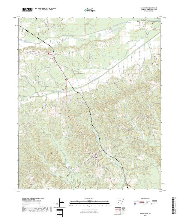
2024 Map of Washington
USGS Topo · Published 2024About this map
Washington and Ozan anchor this portion of Hempstead County, where the topography transitions from the drainage basins of the Ozan Creek system into more dissected uplands. The landscape is defined by the winding paths of South Fork Ozan Creek and Middle Fork Ozan Creek, with evidence of geological shifting preserved in the Old Channel segments to the north. These waterways historically dictated the placement of early roads and settlements in this part of Arkansas.
Find a feature on this map
97 named features on this map. Tap any name to fly to it.
Don’t see what you’re looking for? This feature index may not catch every label — zoom into the map to look around manually.
Map Details
Editions of this 2024 Washington Map
This is the sole edition of this map. No revisions or reprints were ever made.
Other maps of this area

1951 · Blevins
USGS Topo · 1:24,000

1951 · Columbus
USGS Topo · 1:24,000

1951 · Sheppard
USGS Topo · 1:24,000

1951 · Nashville
USGS Topo · 1:24,000

1951 · Washington
USGS Topo · 1:24,000

1951 · Pisgah
USGS Topo · 1:24,000

1951 · Hope
USGS Topo · 1:24,000

1951 · Mc Nab
USGS Topo · 1:24,000

1951 · McCaskill
USGS Topo · 1:24,000

1953 · El Dorado
USGS Topo · 1:250,000