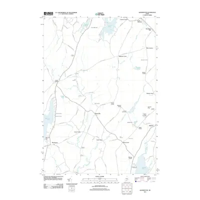
2011 Map of Washington
USGS Topo · Published 2011About this map
The Medomak River and its tributaries carve through the central landscape of this Knox County region, anchoring a series of small, interconnected crossroads settlements. From the village of Washington in the west to Burkettville and North Union, the map reveals a community structured around these historic junctions and the water power of the river system. In the east, Appleton Ridge overlooks the Saint George River valley, while to the south, Sennebec Pond marks the landscape.
Find a feature on this map
99 named features on this map. Tap any name to fly to it.
Don’t see what you’re looking for? This feature index may not catch every label — zoom into the map to look around manually.
Map Details
Editions of this 2011 Washington Map
This is the sole edition of this map. No revisions or reprints were ever made.
Other maps of this area

1904 · Rockland
USGS Topo · 1:62,500

1906 · Rockland
USGS Topo · 1:62,500

1913 · Waldoboro
USGS Topo · 1:48,000

1915 · Waldoboro
USGS Topo · 1:62,500

1915 · Belfast
USGS Topo · 1:62,500

1916 · Liberty
USGS Topo · 1:62,500

1917 · Belfast
USGS Topo · 1:62,500

1941 · Belfast
USGS Topo · 1:62,500

1941 · Rockland
USGS Topo · 1:62,500

1941 · Waldoboro
USGS Topo · 1:62,500