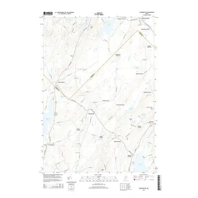
2014 Map of Washington
USGS Topo · Published 2014About this map
The Waldo Co Knox Co boundary line bisects this Maine landscape, dividing a network of agricultural and small-town settlements. Washington and Appleton anchor the southern portion of the map, connected by a dense web of rural routes like Burkettville Rd and Plains Rd. Numerous family-named crossroads, including Maddocks Corner, Stovers Corner, and Pease Corner, illustrate the decentralized settlement pattern characteristic of the region's mid-coast interior.
Find a feature on this map
105 named features on this map. Tap any name to fly to it.
Don’t see what you’re looking for? This feature index may not catch every label — zoom into the map to look around manually.
Map Details
Editions of this 2014 Washington Map
This is the sole edition of this map. No revisions or reprints were ever made.
Other maps of this area

1904 · Rockland
USGS Topo · 1:62,500

1906 · Rockland
USGS Topo · 1:62,500

1913 · Waldoboro
USGS Topo · 1:48,000

1915 · Waldoboro
USGS Topo · 1:62,500

1915 · Belfast
USGS Topo · 1:62,500

1916 · Liberty
USGS Topo · 1:62,500

1917 · Belfast
USGS Topo · 1:62,500

1941 · Belfast
USGS Topo · 1:62,500

1941 · Rockland
USGS Topo · 1:62,500

1941 · Waldoboro
USGS Topo · 1:62,500