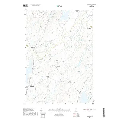
2021 Map of Washington
USGS Topo · Published 2021About this map
Burkettville and Washington anchor this coastal Maine interior, where the headwaters of the Medomak River and Saint George River systems define the drainage of a landscape shaped by glacial activity. The terrain is marked by distinctive elevations like Coon Mtn and Johnson Hill, interspersed with significant water bodies such as Sennebec Pond and Stevens Pond. Genealogists will find a wealth of burial sites across the landscape, including Pine Grove Cem, Hannon Cem, and Skidmore Cem, often situated near early crossroads settlements like Lucas Corner and North Union. The map details a transition from the rolling heights of Appleton Ridge down to the marshy reaches of Cedar Swamp and The Pool, illustrating the persistent rural settlement patterns of Knox and Waldo counties. Local transit follows historical corridors like Pinnacle Rd and Burkettville Rd, connecting small communities such as South Liberty and Woodman Mills.
Find a feature on this map
95 named features on this map. Tap any name to fly to it.
Don’t see what you’re looking for? This feature index may not catch every label — zoom into the map to look around manually.
Map Details
Editions of this 2021 Washington Map
This is the sole edition of this map. No revisions or reprints were ever made.
Other maps of this area

1904 · Rockland
USGS Topo · 1:62,500

1906 · Rockland
USGS Topo · 1:62,500

1913 · Waldoboro
USGS Topo · 1:48,000

1915 · Waldoboro
USGS Topo · 1:62,500

1915 · Belfast
USGS Topo · 1:62,500

1916 · Liberty
USGS Topo · 1:62,500

1917 · Belfast
USGS Topo · 1:62,500

1941 · Belfast
USGS Topo · 1:62,500

1941 · Rockland
USGS Topo · 1:62,500

1941 · Waldoboro
USGS Topo · 1:62,500